Lalande-de-Pomerol
How to read this
Capitals mark the stressed syllable. “ahn” is a nasal vowel: say it through the nose, with no n. The French r comes from the back of the throat. The recording is the reference.
Red only from 2 communes across the Barbanne from
The place
The rules
Red only, from Merlot, Cabernet Franc, Cabernet Sauvignon and Malbec as principal varieties, with Carmenère and Petit Verdot to 10%. The cahier des charges, the appellation’s official rulebook, asks for 5,500 vines a hectare, 53 hectoliters with a ceiling of 65 and 11% of natural alcohol; the wine is raised until March 15 and sold from March 31 of the year after the harvest. Everything
The names
No classification. The growers formed their syndicate on February 18, 1884, in the middle of the phylloxera crisis, one of the first in the Gironde, and in 2008 INAO made it the body that governs the appellation.
- Color
- Red
- Communes
Lalande-de-Pomerol , Néac- Vineyard
- About 1,131 hectares, 143 growers
- Grapes
- Merlot, Cabernet Franc, Cabernet Sauvignon, Malbec; Carmenère and Petit Verdot to 10%
- Density
- 5,500 vines a hectare at least
- Yield
- 53 hectoliters a hectare, ceiling 65
- Alcohol
- 11% natural at least
- Release
- From March 31 of the year after the harvest
- Classified
- No classification
- AOC since
- December 8, 1936
Sources: FGVB, cahier des charges
The stack
The same land in
The appellations of Bordeaux are stacked, not laid side by side. The map draws the whole stack. Open the map
The pyramid of names shows what each step promises: vines a hectare, bottles, ripeness, day of sale, grapes. Climb from here
Terroir
Néac’s slope looks across the Barbanne stream at
On that step the water table lies deep, and the vine can spread its roots over several meters. Climb from the Isle toward the hills of Montagne and the fine part of the soil, silt and clay, tends to grow.
Some of what the river rolled here came from far upstream: granite, gneiss, schist. At the base of the deposits the pebbles are usually large and can reach 15 to 20 cm, stones that fill both hands. People passed this way too: the terrace levels of the Isle valley have given up many series of stone tools, all of the very old kind called Acheulean. Among the river’s stones lie stones that hands have shaped.
- Slope wash and cover14.8%
- River and estuary deposits of today0.2%
- Ice age river terraces: sand, gravel, pebbles53.1%
- Molasses: sands and clays of old rivers and lakes32.0%
Shares of the delimited area, measured on BRGM’s geological map, in families by the age and rock its legend prints, youngest first.
Half its delimited soil lies above 28 m, and 9 tenths lies between 14 and 47 m. 1.8% of it is steeper than 10%.
Measured section
The line runs 8.2 km, from -1 m to 43 m. Inside the delimited area it lies between 11 and 44 m.
Colors: Slope wash and coverRiver and estuary deposits of todayIce age river terraces: sand, gravel, pebblesMolasses: sands and clays of old rivers and lakes
The units, as BRGM prints them
| Code | Name and age, as printed | Share |
|---|---|---|
| Slope wash and cover | 14.8% | |
| CFp | Formations superficielles | 8.0% |
| CF | Formations superficielles | 6.8% |
| River and estuary deposits of today | 0.2% | |
| and 1 more unit under 1% each, 0.2% in all | ||
| Ice age river terraces: sand, gravel, pebbles | 53.1% | |
| Fxb3 | Basses terrasses (RD Garonne) - Terrasse d'Izon (type 6), Saalien - "Riss" | 1.3% |
| Fxb2 | Basses terrasses (RD Garonne) - Terrasse d'Izon (type 6), Saalien - "Riss" | 20.7% |
| Fxb1 | Basses terrasses (RD Garonne) - Terrasse d'Izon (type 6), Saalien - "Riss" | 15.6% |
| Fvb(D) | Hautes terrasses (RD Garonne) - Terrasse de Malleret inf. (type 2) indiférenciée, Ménapien-Bavélien - "Gunz" | 15.5% |
| Molasses: sands and clays of old rivers and lakes | 32.0% | |
| e7 | Formation Boisbreteau inf., Priabonien sup. continental | 2.2% |
| e7-g1-S | Molasse du Fronsadais sup. à facies sableux dominant, Priabonien sup. à Rupélien basal continental | 28.9% |
| and 2 more units under 1% each, 0.9% in all | ||
Informative figures, computed from INAO’s digitized parcel delimitation of October 12, 2026 and BRGM’s harmonized geological map (BD Charm-50); heights from IGN’s RGE ALTI 5 m. The plans held at the town hall are the legal reference. The delimited area is always somewhat larger than what is planted.
Sources: BRGM, Notice explicative de la feuille Libourne à 1/50 000, 1995; Van Leeuwen, Baudet, Duteau, Seguin, Wilbert, Les sols viticoles et leur répartition a Saint-Emilion,
Its soil, layer by layer · See it in 3D · See it on the Map · Compare it with another appellation · All about Terroir
Châteaux on this site
Château Belles-Graves Château Bertineau Saint-Vincent Château Canon Chaigneau Château de Chambrun Château des Capucins Château Garraud Château Haut-Chaigneau Château Haut-Surget Château La Fleur de Boüard Château Moncets Château Perron Château Sergant Château Siaurac Château Tournefeuille
Also in this appellation, with no page here yet:
Tastings
12
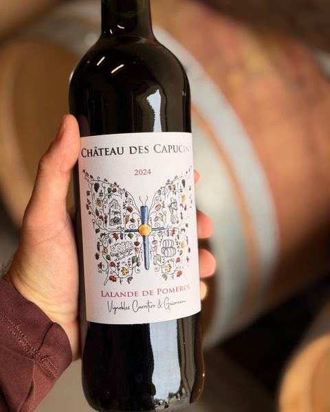
May 29, 2026
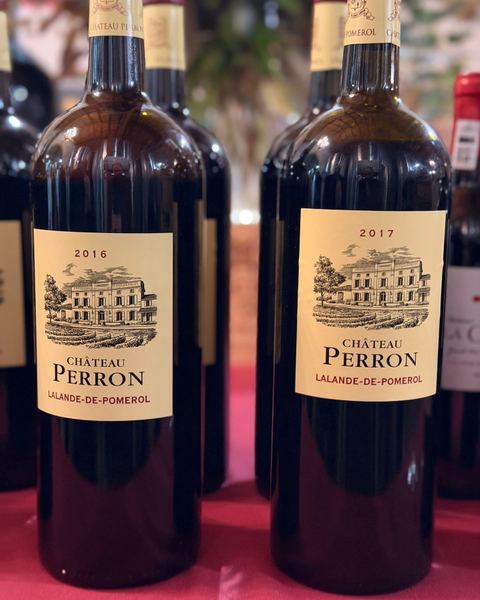
May 27, 2026
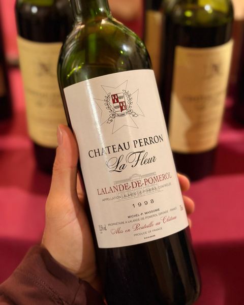
May 26, 2026 · 2
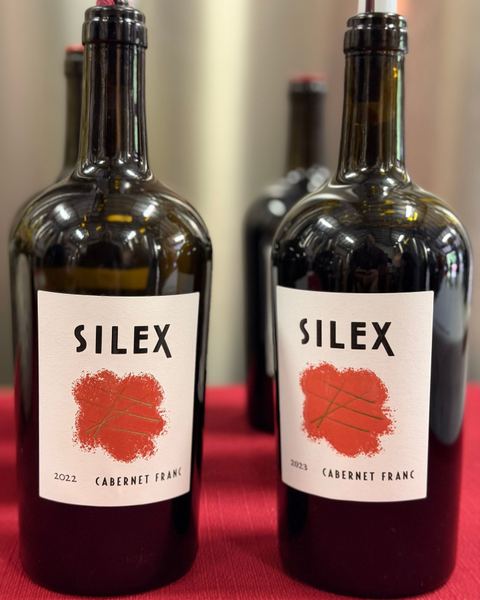
May 25, 2026
Silex 2022 and 2023, Lalande de
February 5, 2026

November 24, 2025
News from Lalande-de-Pomerol
3
-
Château Moncets : the place to escape and discover Bordeaux’s historic terroirsChâteau Moncets inLalande-de-Pomerol opens as a wine tourism destination near Bordeaux: a historic setting, a conversion to organic farming, andPomerol andSaint-Émilion close by. -
Terre de Vins reassessed the deliverable 2023 wines from
Pomerol andLalande-de-Pomerol after 2 years of élevage, saying promising potential identified in spring 2024 was often confirmed. The selection includes successes that are more accessible than those from the acclaimed 2022 vintage. -
Hubert de Boüard discusses his passion project, Le Plus de la Fleur de Boüard
According to Decanter, Hubert de Boüard discussed Le Plus de la Fleur de Boüard on February 26, 2026. The
Lalande-de-Pomerol wine is 100% Merlot from a 6ha parcel of 70-80-year-old vines and is bottled in around 4,000 bottles annually.